Tactile Maps and Wayfinding
Tactile maps and wayfinding materials help make buildings, campuses, parks, transportation systems, and public spaces more accessible for people who are blind or visually impaired. By presenting spatial information through raised lines, symbols, textures, and braille, tactile maps provide another way to understand layouts, routes, and points of interest through touch.
Organizations across education, government, museums, healthcare, transportation, and public facilities use tactile maps to improve accessibility while helping visitors and users become more familiar with their surroundings.
This article explores common applications of tactile maps and wayfinding materials. It does not establish accessibility standards or replace guidance from orientation and mobility specialists, architects, accessibility consultants, or other qualified professionals.
What Are Tactile Maps?
Tactile maps are raised representations of physical spaces that allow users to explore locations through touch. Depending on the application, they may include roads, pathways, buildings, landmarks, room layouts, geographic features, transit routes, or other important information.
Many tactile maps also incorporate braille labels, large print, color, and high-contrast graphics to support users with varying levels of vision.
Supporting Wayfinding
Wayfinding refers to helping people understand and navigate physical environments. While tactile maps do not replace orientation and mobility training or accessible building design, they can provide valuable information before or during travel.
Wayfinding materials may be used to identify:
- Building entrances and exits
- Room locations
- Hallways and corridors
- Accessible routes
- Elevators and stairways
- Public amenities
- Emergency exits
The design of tactile wayfinding materials should always be based on the needs of users and applicable accessibility guidance.
Schools and Universities
Educational institutions may use tactile maps to help students, staff, and visitors become familiar with campuses, classrooms, laboratories, libraries, and other facilities. Tactile maps can also support orientation activities and accessible educational programs.
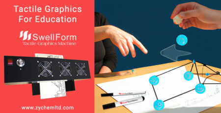
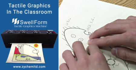
Many schools and universities produce tactile maps using Swell Touch paper processed through a Swell Form Machine, allowing maps to be updated as buildings, classrooms, or campus layouts change.
Museums and Visitor Centers
Museums, cultural institutions, parks, and visitor centers often use tactile maps to introduce guests to exhibit layouts, galleries, walking paths, and points of interest. These materials help visitors better understand the environment before exploring it.
Organizations producing larger quantities of visitor maps, educational materials, or exhibit guides may also benefit from the increased production capacity of the Swell Form Pro Machine.
Public Buildings
Government offices, libraries, healthcare facilities, community centers, and other public buildings may incorporate tactile maps as part of broader accessibility initiatives. These maps can assist visitors in locating entrances, service areas, meeting rooms, public amenities, and accessible routes.
Tactile maps are often used alongside braille signage, audible information, and accessible digital resources to provide multiple ways of communicating important information.
Transportation
Transit systems may use tactile maps to represent stations, terminals, platforms, routes, surrounding streets, and transportation connections. These materials can help passengers better understand the layout of transportation facilities while complementing existing accessibility features.
The appropriate design and implementation of transit wayfinding materials should always follow the requirements established by the responsible transportation authority and applicable accessibility standards.
Creating Tactile Maps
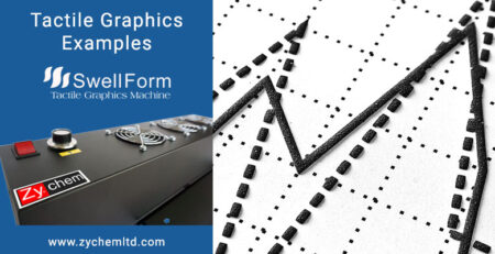
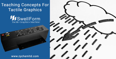
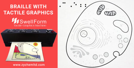
One common method for producing tactile maps uses heat-activated Swell Touch paper. Black printed or hand-drawn areas expand when processed through a Swell Form Machine, creating raised tactile graphics while preserving color for visual reference.
For custom maps, concept sketches, classroom demonstrations, or educational activities, Swell Touch Markers provide a simple way to draw directly onto Swell Touch paper before processing.
Keeping Maps Current
Buildings, campuses, exhibits, and public spaces change over time. On-demand production allows organizations to update tactile maps as layouts evolve without relying on large inventories of pre-produced materials.
This flexibility is particularly valuable for schools, museums, visitor centers, and public facilities where information may change regularly.
Zychem’s Role
Zychem manufactures the equipment and materials used to produce heat-activated tactile graphics, including Swell Touch paper, the Swell Form Machine, the Swell Form Pro Machine, and Swell Touch Markers.
While Zychem supplies the technology used to create tactile maps, decisions regarding map design, accessibility requirements, orientation and mobility practices, and wayfinding standards should be made by qualified professionals familiar with the intended users and environment.
To learn more about heat-activated tactile graphics, visit What Is Swell Touch Paper?, What Is a Swell Form Machine?, Applications of Tactile Graphics, Tactile Graphics in Education, and Tactile Graphics for Museums.
Conclusion
Tactile maps and wayfinding materials help make schools, museums, public buildings, transportation systems, campuses, and visitor centers more accessible by presenting spatial information in a tactile format. As organizations continue expanding accessibility, dependable tactile graphics technology provides an efficient way to create, update, and distribute these important resources.